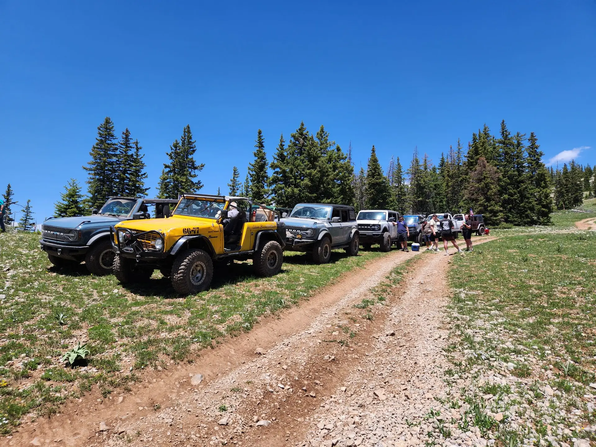
Anderson Creek (5)
Anderson Creek is a high elevation trail with some spots above 9,500 feet. This beautiful trail has several water crossings that can very depending on run off. This trip has many scenic overviews and will consist of high elevation forest two track roads with a mid-point assent up a tight rough boulder covered mountain trail with steep climbs, multiple stops along the way for sight seeing.
Butch Cassidy (4)
Butch Cassidy is just south of Vernal and winds through a canyon full of unique rock formations emerging above the Green River then moves direction for the top of Asphalt Ridge with an awesome view above Vernal and Split Mountain.
Burnt Ends (10)
This modified route through Doc's Beach was designated for the buggy crowd. The 12-rated Burnt Ends obstacle is not required, but some time will be spent at this section. This trail is for buggies only, and not recommended for full-bodied vehicles, unless you plan to beat on your body panels.
**This is a BUGGY trail**
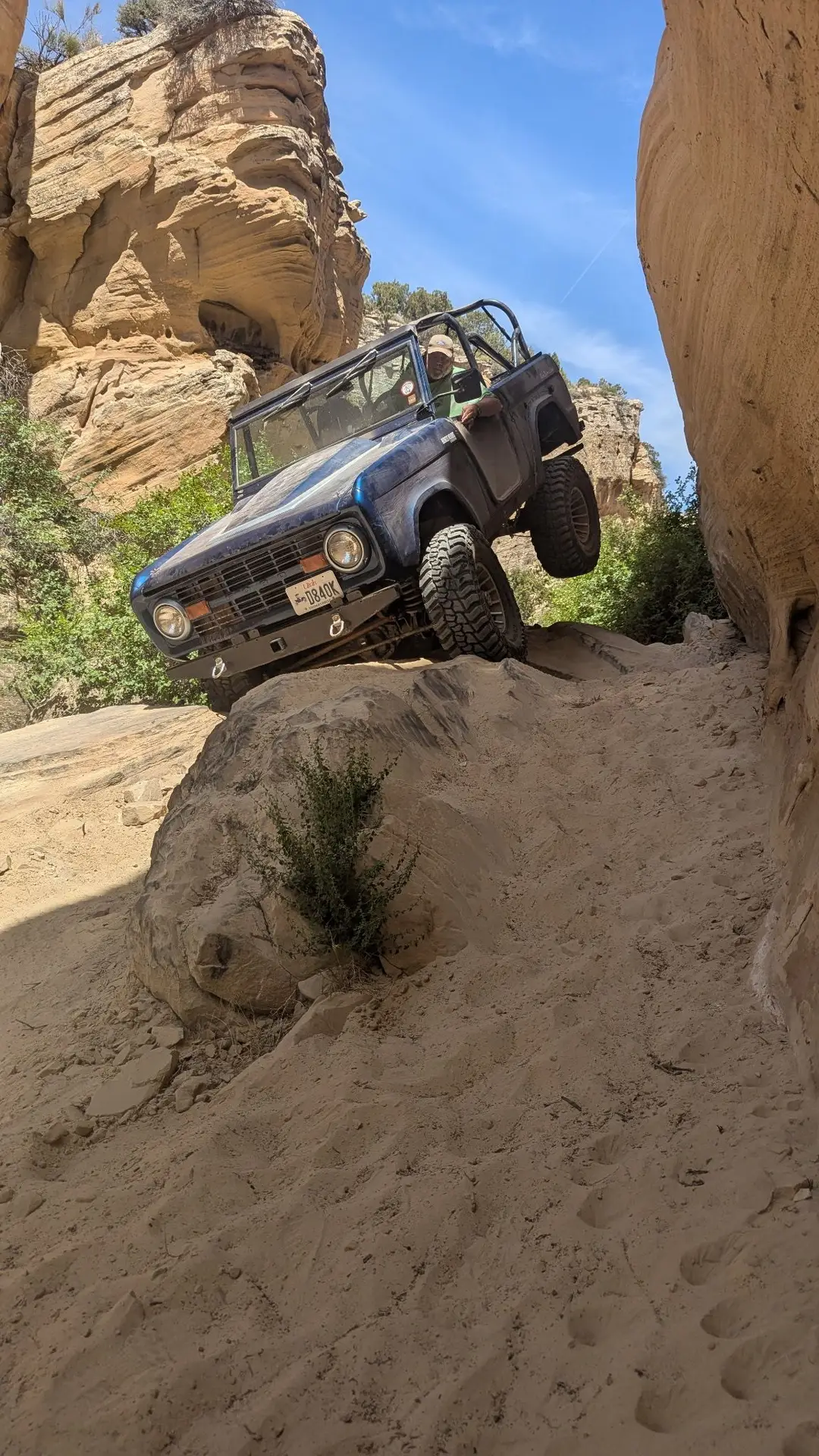
Coyote Gulch (5)
This trail is located between the Doc's Beach and Sand Bar Trails, throw in a few new exciting obstacles and you get "Coyote Gulch." This trail is so new that the route has not been totally picked yet. When picked, it will be a great middle difficulty trail that takes advantage of all Doc's Beach area has to offer. There will be steep climbs, steep descents and off camber sections that will leave you stuck to your seat. You will have a blast!!!
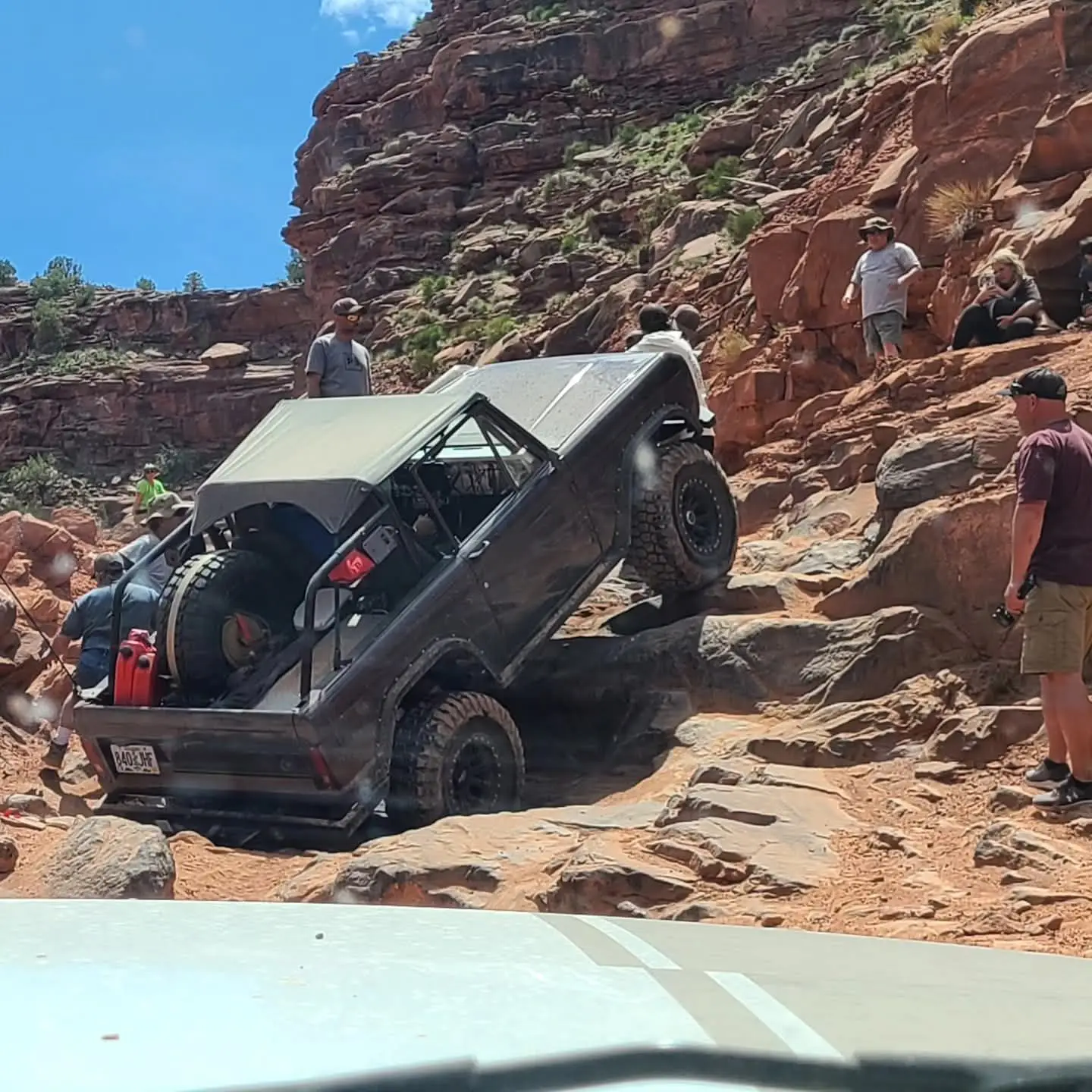
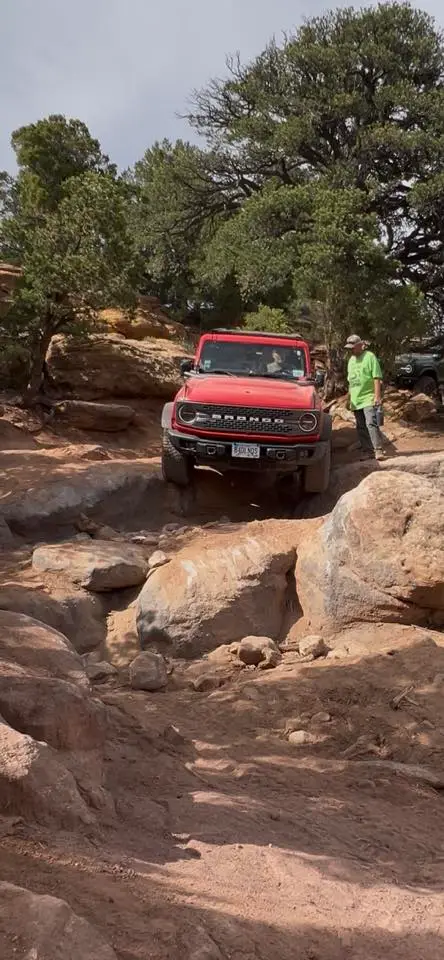
Doc's Beach (7)
Doc's Beach is one of the pinnacle trails of the Vernal area, and has become well-known for its grippy sand stone surface, moon-like appearance, and some of the greatest scenery that can only be seen from this trail. With views of the lush Dry Fork Canyon lined with huge rock cliff canyon walls. This trail visits the popular cave and "Dear Crack" attractions. Experienced drivers only.
Grizzly Ridge (4)
Grizzly ridge trail begins west of Vernal at the basin floor at 5500’ elevation, travels up the north face of the Diamond rim cresting out at approximately 8000’ with a beautiful overlook of Vernal, Steinaker and Red Fleet reservoirs to the south and the Unita’s to the North. The path then travels along Forrest roads through the “Range Study” area crossing Hwy 191 then traverses up in elevation over rocky mountain two track roads to the Grizzly Ridge Yurt for a lunch stop at an elevation of 9000’+.
Josie Morris (4)
Jose Morris, near the Jensen area starts off with an awesome view of Split Mountain traversing through juniper canyons with a short walk at the mid-point of the trail visits some Native American pictographs. The trail continues to climb in elevation to the top of Blue Mountain, about 2,500 feet above the valley floor.
Moonshine Arch (3)
This trail navigates through several areas of various trail surfaces and features one of the few arches in the world that you can actually drive right under for a photo. Moonshine arch trail departs the rod and gun club travels north on sandy two track roads with intermittent sandstone outcroppings stopping to look at native American petroglyphs, various sand stone formations along the way, the trail travels along sandy whoops to Steinaker state park then north on hwy 191 for 1 mile then exits to moonshine arch trailhead.
Red Mountain - East Loop (7)
One of the most scenic trails of the event, Red Mountain enjoys completely unexpected views that almost remind you of the Rubicon Trail in the High Sierras. This is the slightly more difficult of the 2 Red Mountain trails. There is no bypass through the Commando Corner, the most notable obstacle. The trail ascends the mountain into some high elevations into some incredible pine populated areas with an old deserted cabin as the perfect area to take a lunch break. There are a couple areas that get tight, and pinstriping is likely. 2 lockers are recommended, but doable with 1.

Red Mountain - West Loop (6)
One of the most scenic trails of the event, Red Mountain enjoys completely unexpected views that almost remind you of the Rubicon Trail in the High Sierras. This is the less difficult of the 2 Red Mountain trails. There is no bypass through the Commando Corner, the most notable obstacle. However, coming down is much easier than going up this obstacle. The trail ascends the mountain into some high elevations into some incredible pine populated areas with an old deserted cabin as the perfect area to take a lunch break. There are a couple areas that get tight, and pinstriping is likely. Either front or rear locker is recommended.
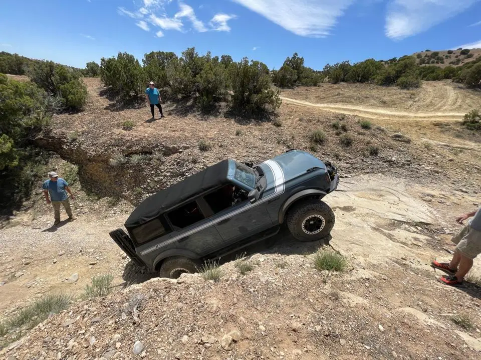
Sand Bar (4)
Located next to the Doc's Beach trail, Sand Bar boasts some of the amazing sand stone surfaces of the area. With inclines and declines that will test your blood pressure, the surfaces along the Sand Bar trail have incredible traction that will leave you shocked your 4x4 climbed such steep hills with ease. This is the perfect trail to get your feet wet for more intense off-roading, but you don't have to be an expert to join this guided run.
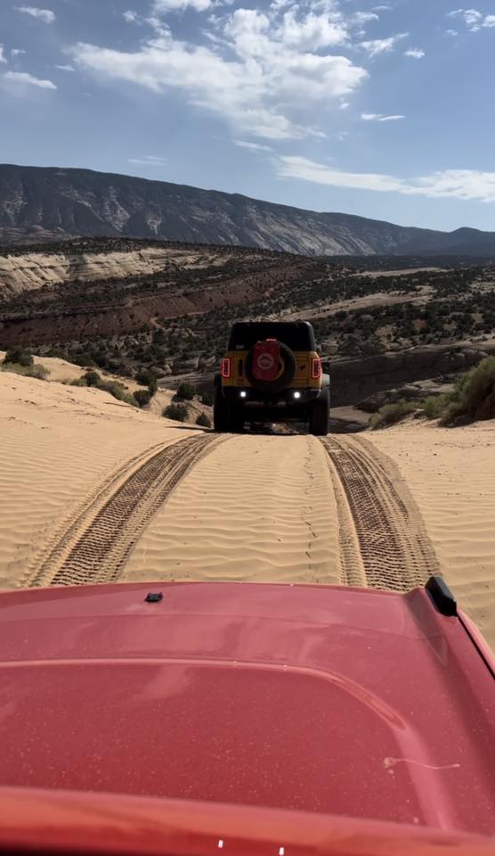
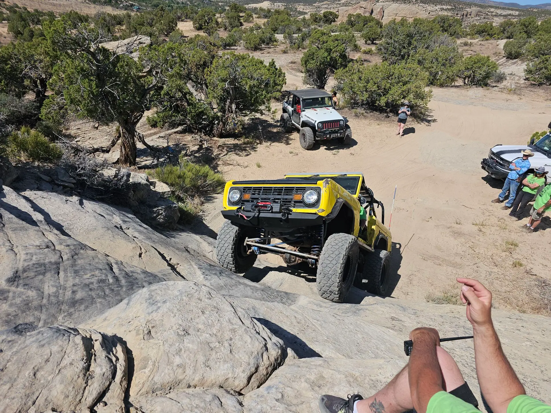
Sand Dunes Gulch (8)
The Sand Dunes area is one of the older, well known areas for hard core rock crawling. Some folks from the old school competition crowd may be familiar with this area from the older UROC days. Today, the area has a designated trail route we call "the Gulch." This difficult trail winds through a tight gulch with several extremely off-camber bends and other spots that could incur minor body damage if you don't take the turns wide enough. There are several unnamed waterfall obstacles that take experienced driving capabilities, and often significant throttle control and commitment. Experienced drivers only.
Sand Dune Island (9)
The Sand Dunes area is one of the older, well known areas for hard core rock crawling. Some folks from the old school competition crowd may be familiar with this area from the older UROC days. This more difficult route takes you through some parts of "the Gulch" but hits the buggy stuff. This trail run spends more time hitting the gnarly obstacles found throughout the rock formations that emerge from the sandy flats that have lines that can be as difficult as you want.